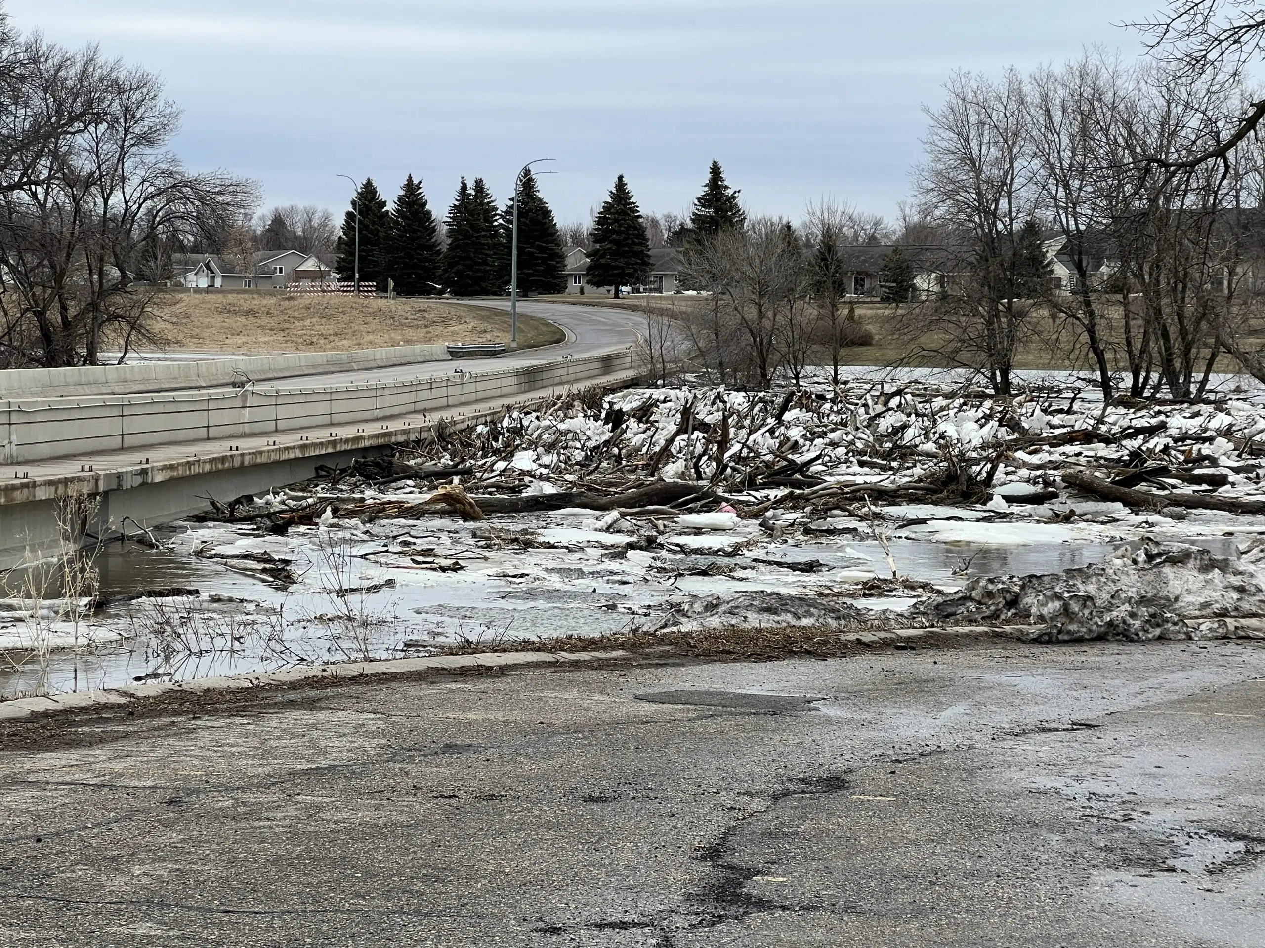
FARGO (KFGO) – The National Weather Service has lowered the forecasted crest for the Red River in Fargo by a foot.
The river is now expected to crest at 33.5 feet Sunday morning in Fargo. That is 3.5 feet above major flood stage, but still manageable due to property buyouts and flood protection measures taken over the past 14 years.
At 10:15 a.m. Wednesday, the Red River was at 26.5 feet. The 12th Ave. N. bridge in Fargo leading into Moorhead is closed due to high floodwaters and 2nd St. S. in Fargo near the Lashkowitz High Rise and Dike East Park will be closed to thru traffic between the roundabout on Main Ave. and 4th St. S. starting at 6pm Wednesday evening, according to Fargo Civil Engineer Jason Baker.
The primary area of concern in Cass County is north and west of West Fargo to Harwood where overland flooding has already begun. The Red, Sheyenne, Rush and Maple Rivers affect that area.


